
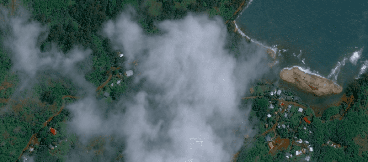
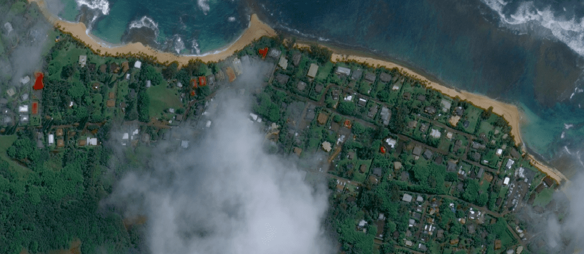
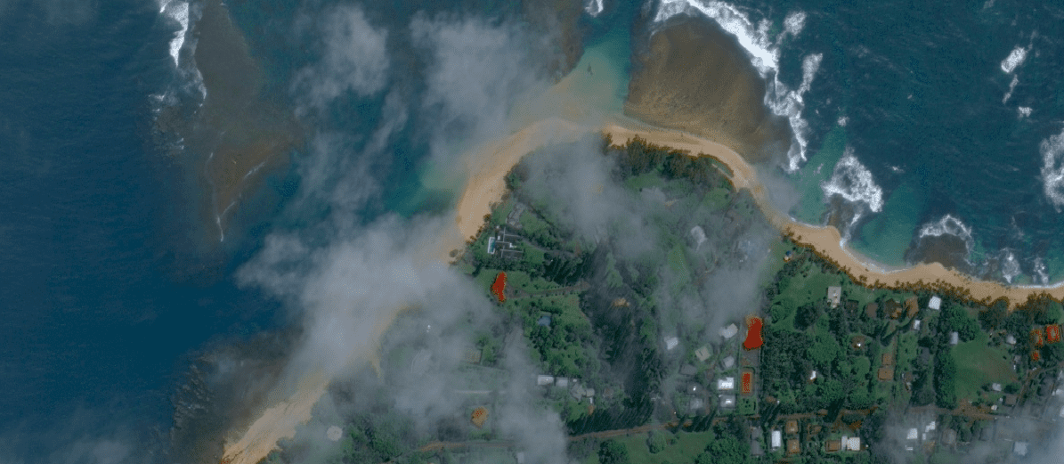
Google has released satellite images showing the North Shore of Kauai after the extensive flooding of mid-April 2018. The imagery was taken on April 18th, several days after the North Shore of Kauai was hit with close to 30 inches of rain in the two-day period of April 14-15. Notably, the imagery shows a sandbar underneath the Hanalei Pier, as well as other sandbars along the coast where beaches were washed out. Unfortunately the Ke’e Beach area was obscured by clouds and the landslides along Kuhio Hwy are difficult to see.
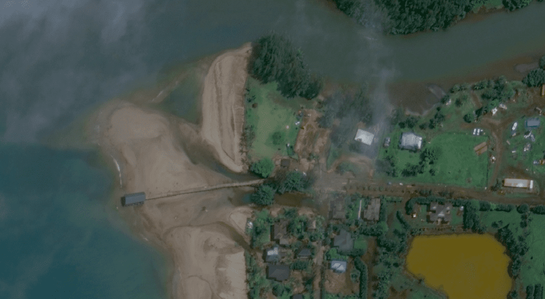
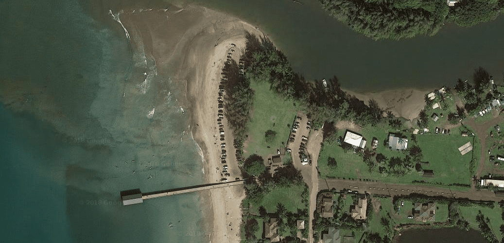
Before and After: The above photo shows the Hanalei Pier area after the flooding. The below photo is before the flooding. The flooding carved a new channel underneath the pier. A growing sandbar that had been forming at the top of Black Pot Beach at the river is now greatly reduced. Only time will tell if the sandbar around and under the pier and the new channel remain.
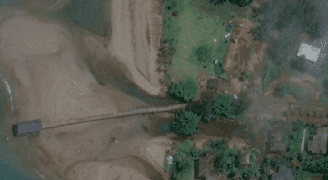
A closer view of the Hanalei Pier after the flooding.
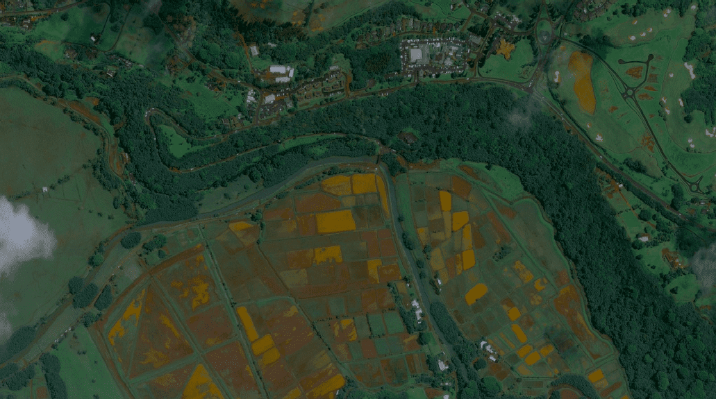
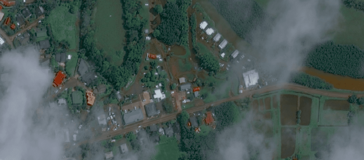
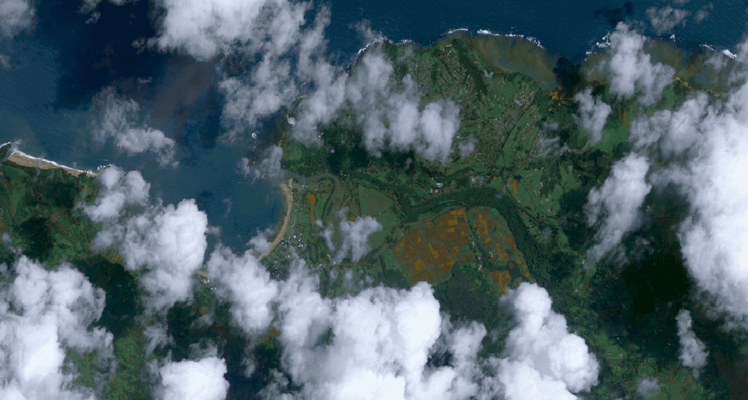
The Hanalei Taro fields after the flooding.
The satellite imagery captured relief efforts underway at Waioli Beach Park (Pine Trees Beach).
Hanalei River at the Dolphin Restaurant.
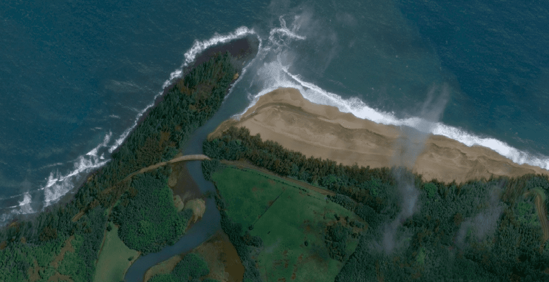
The mouth of the Lumahai River at Lumahai Beach is much wider.
New channels have cut into the beach at Wainiha.
Above and Below: Haena/Tunnels Beach area.
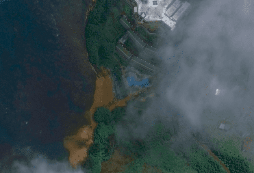
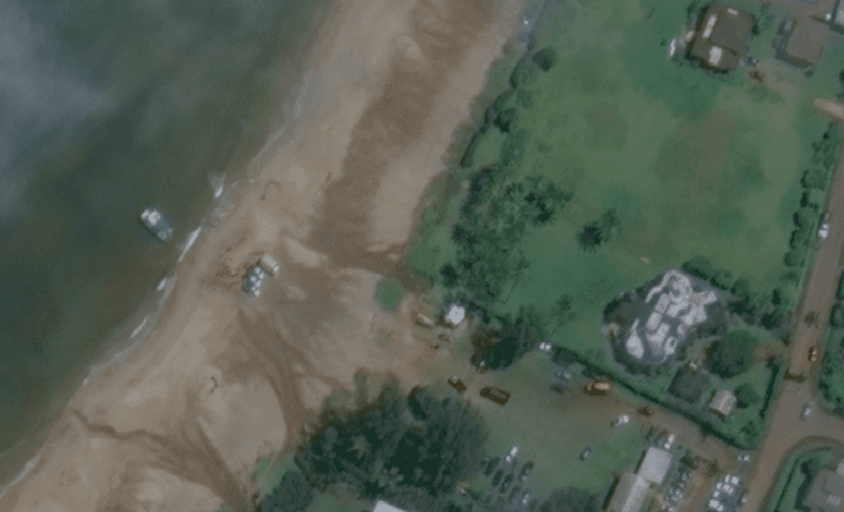
A portion of Puu Poa Beach near the St. Regis Princeville Resort has washed out. Normally the small stream at the beach is just a trickle, but apparently it was much more than that during the flooding.
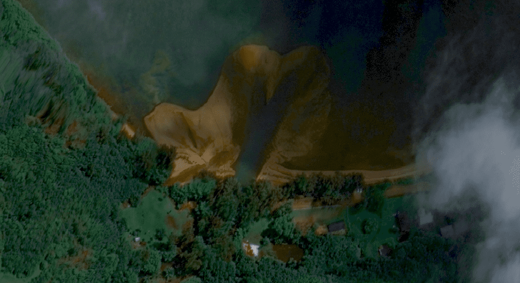
The very end of Anini Beach, also called Wyllie Beach, appears to have been washed out.
Click here to see the entire Google Crisis Map of the Kauai Flooding.