
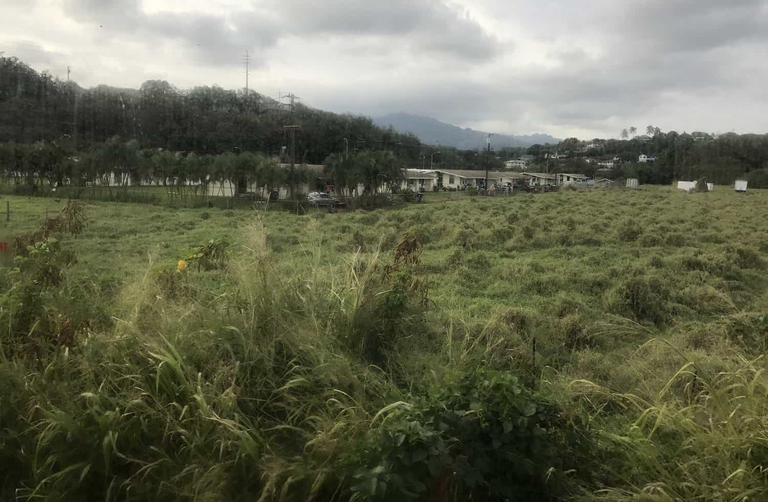
The Kapaa Bypass is an alternate north/south route on the island of Kauai that allows drivers to avoid the traffic congestion in downtown Kapaa. (Traffic is an issue at almost all hours of the day on the main Kuhio Highway 56 through Kapaa.) The three-mile-long bypass (5600) runs behind Kapaa and takes about 5-10 minutes to complete. Using the Kapaa Bypass could potentially save up to 30 minutes or more drive time depending on traffic conditions in Kapaa.
The first mile of the bypass from the north is one-way. Those traveling north on the bypass from the south can only travel the first two miles as far as the traffic circle at 581.
The entrance to the bypass from the south is near the Coconut Marketplace. On the north side, the entrance is across from a Kapaa Bike Path access point.
The bypass was created from former cane haul roads and runs through land owned by Bette Midler.
Location at Google Maps
Kapaa Bypass Images
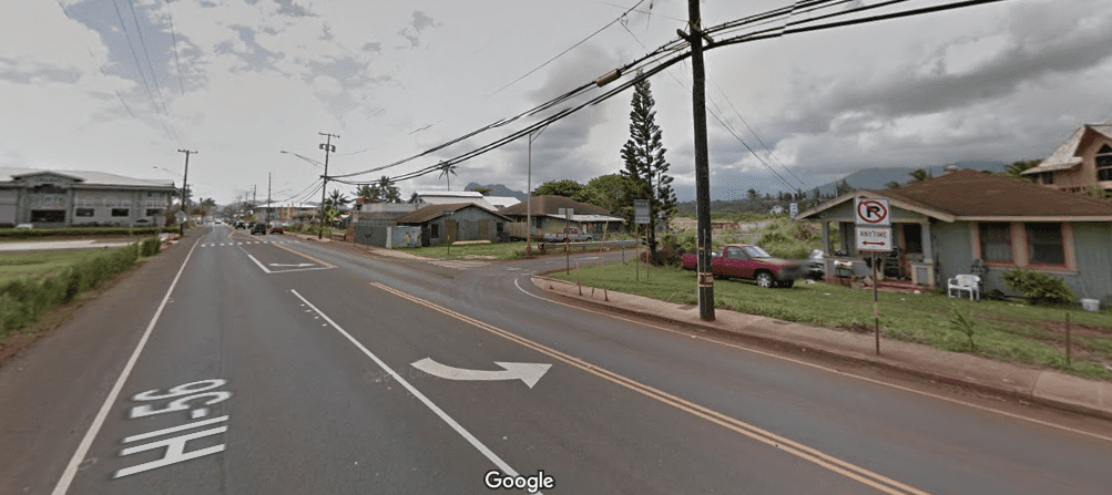
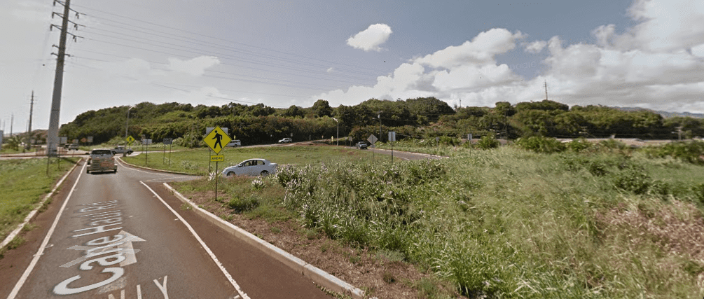
The north entrance to the Kapaa Bypass.
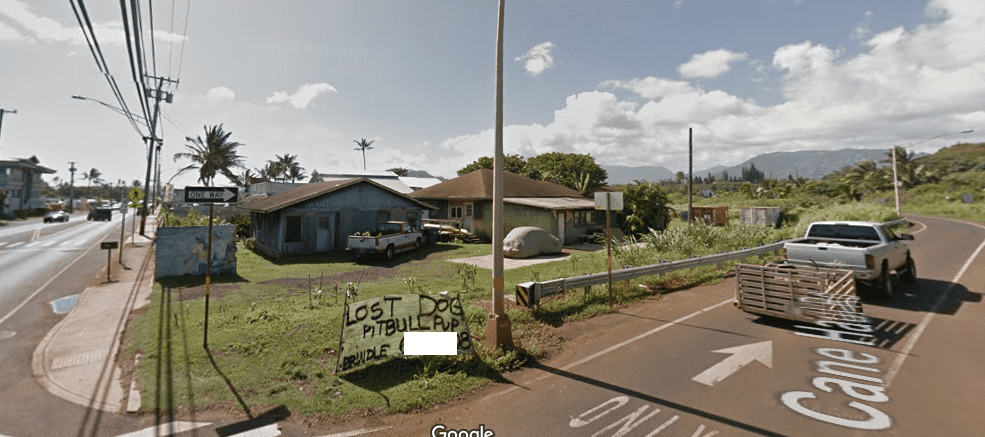
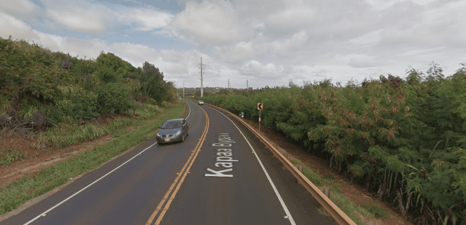
Approaching the traffic circle at 581 from the north.
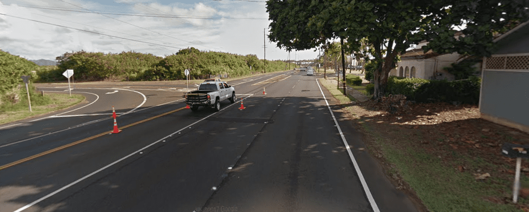
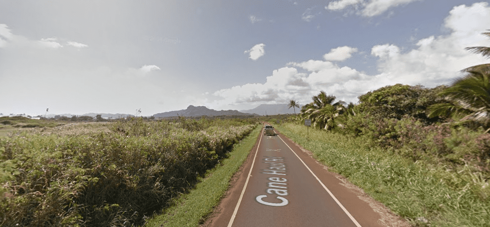
The south entrance to the bypass.
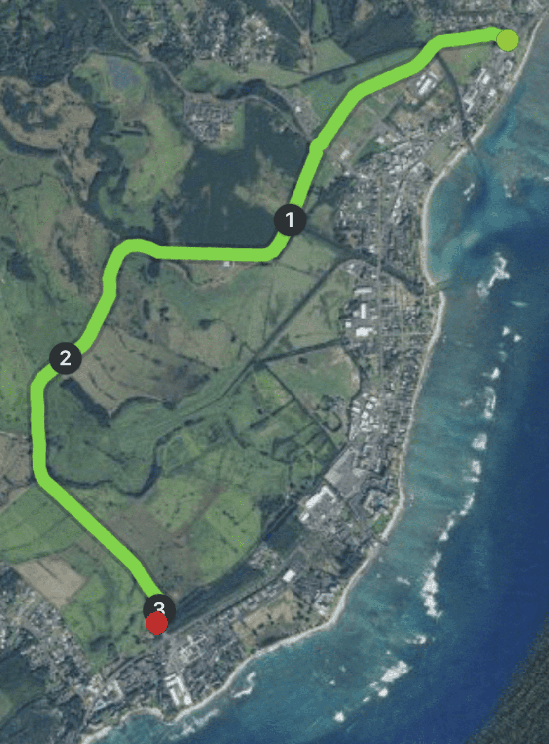
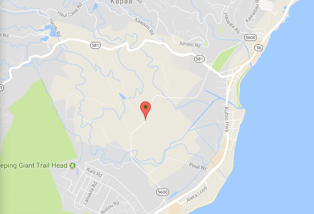
(Click on map to see at Google Maps.)
Leave a comment