
 Kauai Hawaii Adventure Guide by Franko Maps
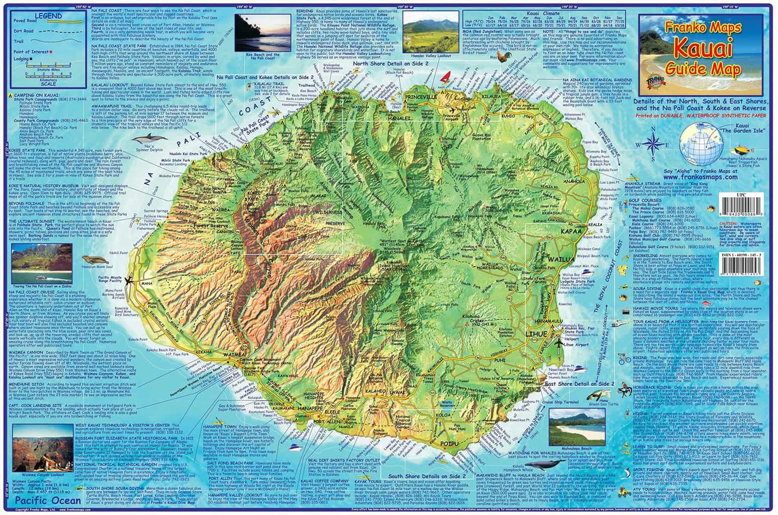
A comprehensive guide to the beautiful island of Kauai! Waterproof and rip resistant map is 14″ x 21″ and folds to a handy 4″ x 7.”
Side one shows the entire island on a detailed dramatic relief map with information describing outdoor activities, golf courses, points of interest and more.
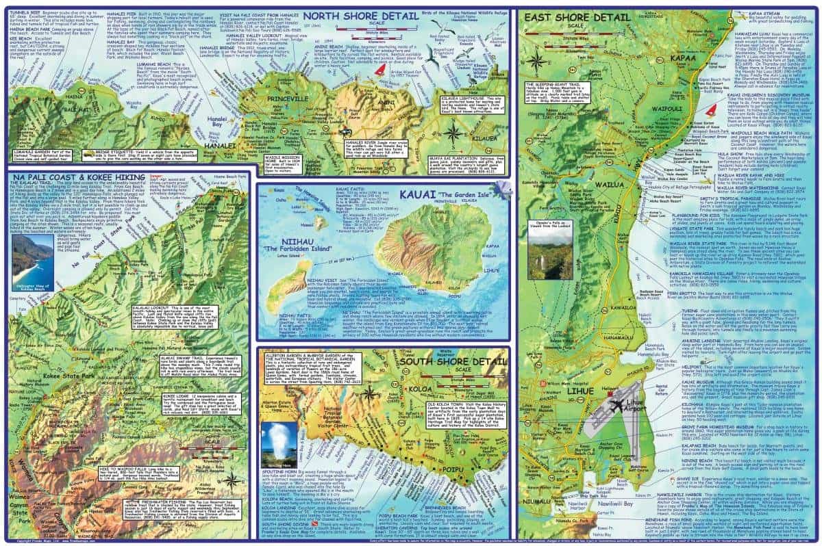
Side two shows detailed close-ups of Kauai’s north, south, east and west shores, as well as the Na Pali Coast and Kokee State Park hiking. The map also features the island of Niihau, with information about the island. (Available at Amazon.com)
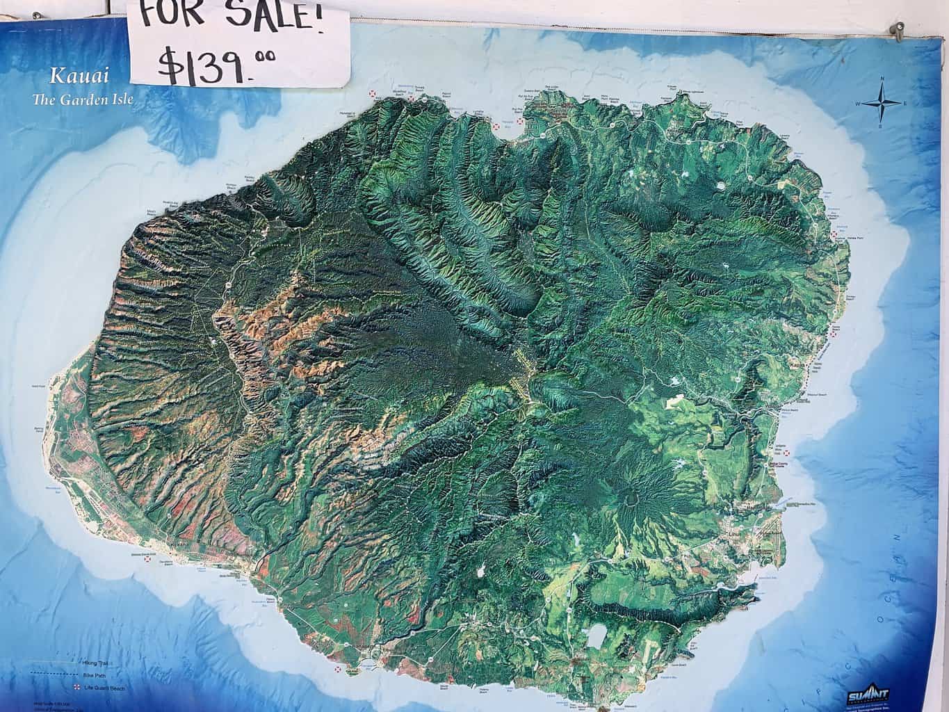
The Franko Map has detailed information about the island of Kauai.
Click map to enlarge.
14’x21′ laminated map of Kauai by Franko Maps is perfect for a wall display. (Available at Amazon.com)
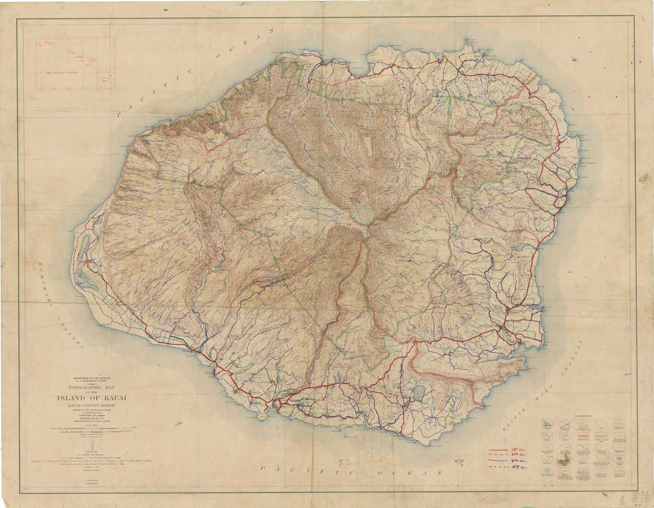
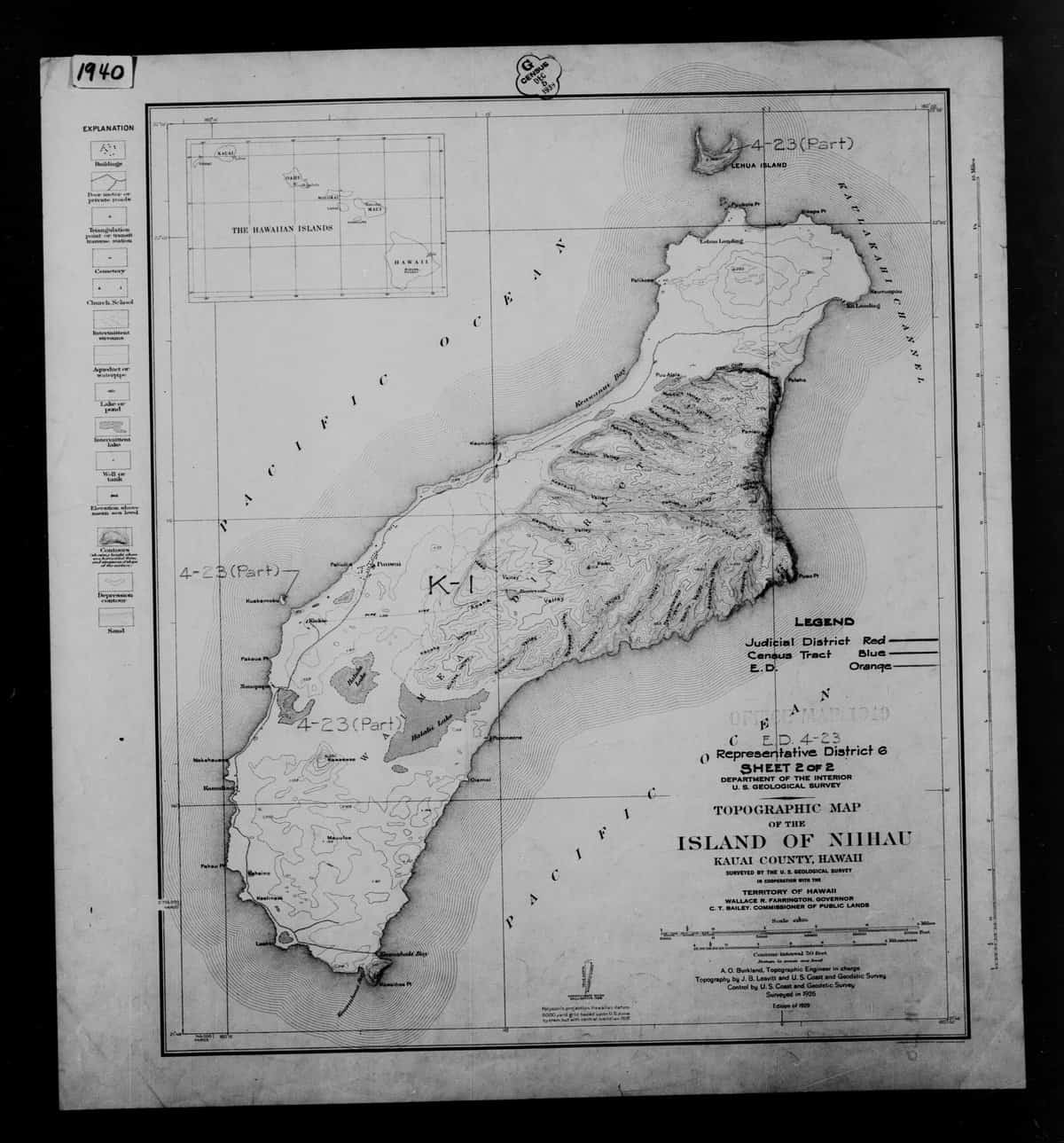
Kauai Topographic Maps
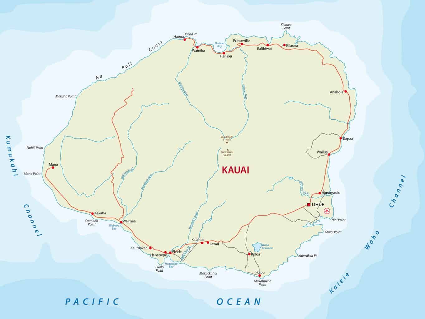
Below are topographic maps of the island of Kauai from the United States Geological Survey. Click images to see full size.
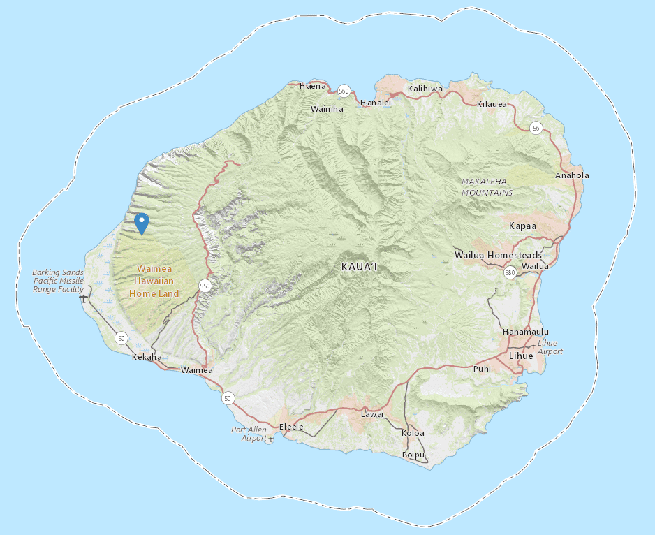
Above: Kauai map with major towns and roads.
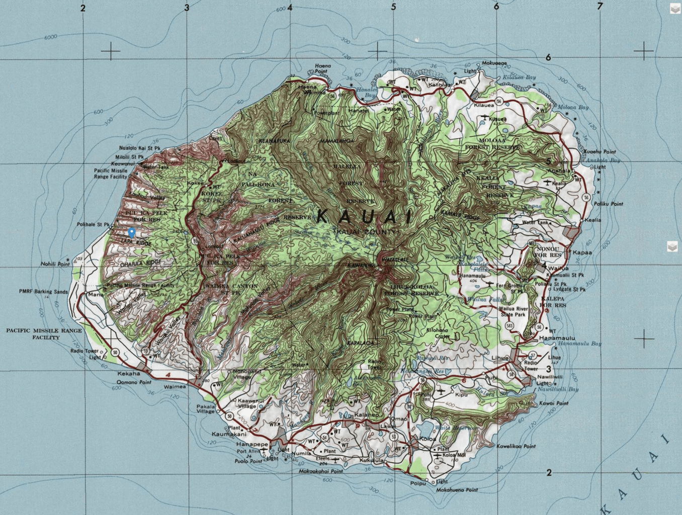
Above: Detailed Kauai Topographic Map
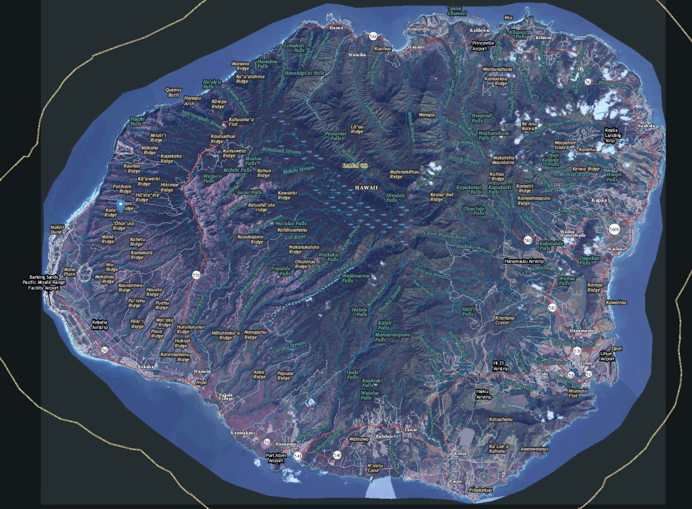
Above: Kauai Imagery Topographic Map
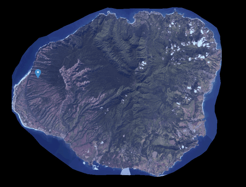
Above: Kauai Imagery Only Map
Leave a comment